Thursday, 28th September 2023.
A circular walk from Crowthorn including Holcombe Moor.
We parked the car at the side of the road adjacent to some smart apartments just at the start of our walk up the aptly named dead end road "THE RISE". More smart houses on the left, then Crowthorn reservoir on our right soon had us getting a touch warm.
The day was mild, a little windy and autumnal with grey skies edged with dark clouds. We looked back from where we had come, you soon gain height, the views open up across to Winter Hill, Jumbles reservoir, Darwin Tower, Entwistle and Wayoh reservoirs.
Crowthorn Reservoir. Still misty on the hills behind.
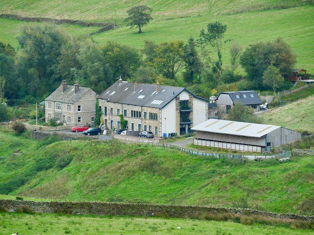
Once passed Crowthorn End Farm we crossed a cattle grid and took the left track on a rippled concrete path which led us up to a small quarry. This was our first and only meander of the day. It seemed the obvious route but we had fell for the obvious and not the right path.
We returned and picked up a path before a wire fence going left towards a modern looking unit. Once passed a gate post we turned a little to the right along an old wall. From here we could just see a post sticking out of the mire with a badge nailed to it. It looked about right so we headed for the post, it was right.
From here much work has been done to provide a good flagged path across the bog. I'm not a fan of these pathways but I have to admit that without it we could well have been waist deep in the mud. Well done the builders.
The path meanders, like the yellow brick road, almost to the base of the hill leading up to the trig point on Bull Hill. Here we passed a National Trust vehicle but there was no sign of anyone around. This area is a section of Holcombe Moor military shooting range and so access is not always possible. If red flags are flying access is prohibited. I checked the Gov. web site and found that no shooting was happening today.Good views in all directions, south to Peel Tower, West to Winter Hill, North to Haslingden, Oswaldtwistle Moor and Pendle Hill in the far off gloom, east to Scout Moor and Knowle Hill. The distance was hazy and didn't do anything for photography, especially with zooming in, but that's the outdoors.
Peel Tower.
Trig Point and OS Flush bracket on Bull Hill.
From the trig point a path runs away to the north east towards Beetle Hill and that was our route. It drops away gradually and I was thinking to myself "I'm giving up well earned height here". At a height of 360 metres a path contours round to the left and joins a wall. At the wall corner there was a footpath signpost erected on behalf of BBC Radio Manchester and it says "For All Outsiders".
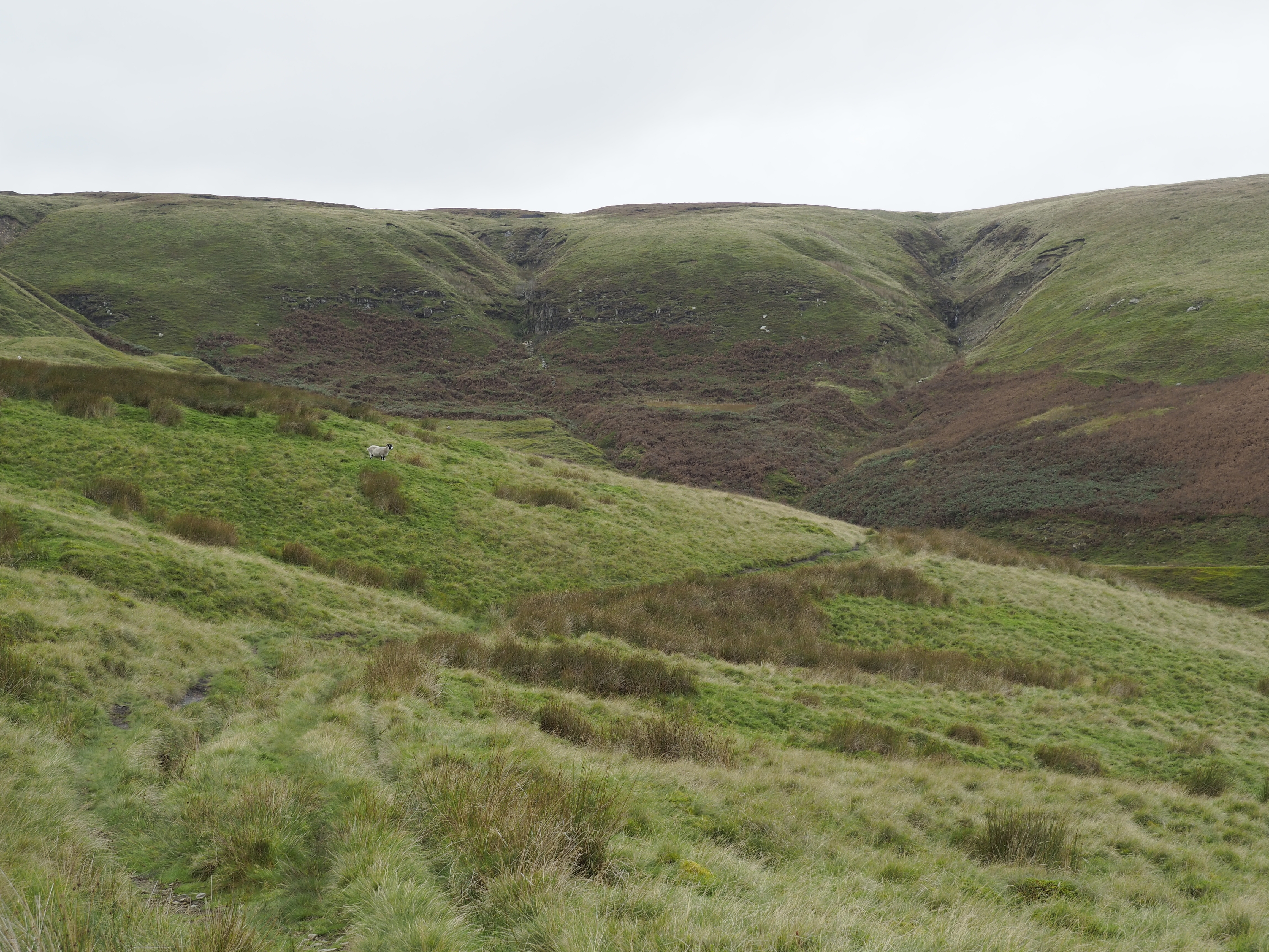
From here there are two tracks, we needed the lower one which contours around to the head of Alden Brook. This is a magnificent Clough with lots of rocky ledges and small water courses with strange names, whatever Alden Ratchers are?. I bet it's spectacular here during heavy rain.
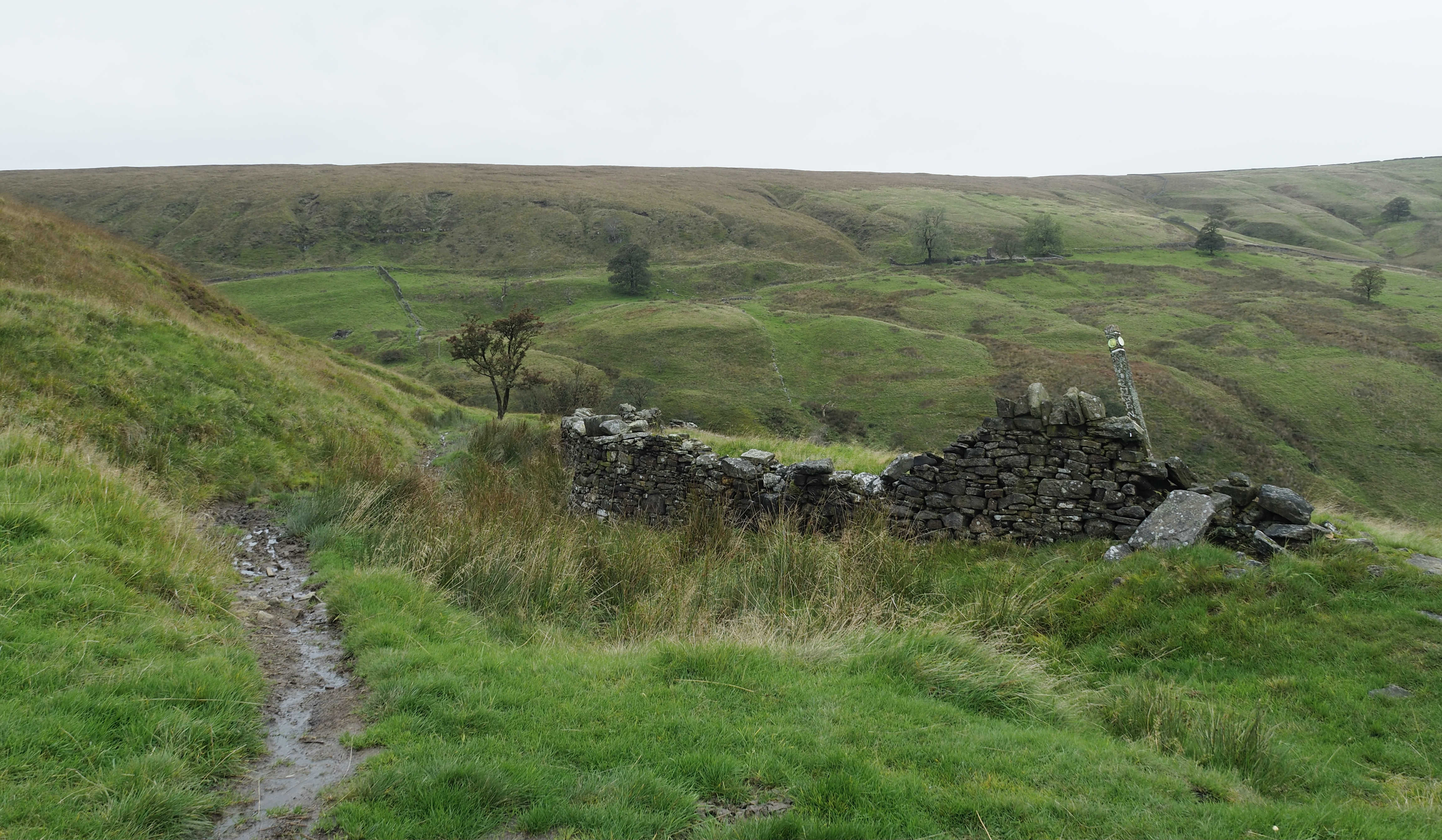
Here we spotted three ruined buildings within the Clough and I wouldn't be surprised if there wasn't more hidden away in the undergrowth. The climate here is a damp one and was perfect for the growth of the cotton and linen trade. From the 1790's this Clough had numerous small mills. These were eventually redundant as the larger mills opened up in the surrounding towns like Helmshore.
Looking closely we spotted another old piece of history, in a couple of places we could see the ridge and furrow farming process and the field systems that typical small holdings would have used. Probably the same people as were in the small mills.
Ridge and Furrow farming. And below numerous ruins and watercourses.
View down Alden Clough.
 The well to do's of Alden Clough.
As we made our way around the Clough numerous waterfalls could be seen and heard and we had the pleasure of watching a kestrel hovering and diving down into the grass. We passed an ancient line of Hawthorn trees and a little further on a larger ruin with a gable end that looked precarious. I haven't found a name to this ruin but as a guess I will say "Spring Bank farm". It was here we saw the only person of the day, a runner going in the opposite direction to us.
Handrailing a wall on our left we passed through Fall Bank Farm with a nicely manicured lawn. Then on a good track a probable new build or conversion called Trickling water Barn, what a lovely name and a lovely house. It even had a robot lawn mower.
Just before Great House Farm there is an old water trough and here we left the car track, over a stile and into a field with two friendly horses where we found a gate in the far left corner. Dogs were constantly barking at Great House Farm for some reason.
Musbury Tor.
Joining the Rossendale way and cutting sharply back on ourselves, we first had a metalled track and then farm intakes full of sheep. The walls around this section are quite special and I cannot say I have seen this type before. Maybe it was the wall builders speciality so that other farmers would know just who had build them. Like a trade mark.
On the other side of a marker post and stile was an old green lane leading in the direction of Burnt hill. It's a bit overgrown considering its still the Rossendale way. Here it could have been easy to take a wrong track, as there were two, but I knew we had to be heading for the head of Musberry Clough and not up hill. Again this is a lovely Clough to walk with splendid views. A large stone wall is followed around the head of the Clough and again ruined buildings.
Ahead of us we could make out Causway End, another ruin with a strange name. It was there we decided to stop for lunch but we weren't there just yet. The path is obvious and it goes through a field with cows and calves. They were contented beasts and showed no interest in us whatsoever. Even posing for a photograph. Once over a washed out stream gulley we came to another ruined building where we had to change direction again. This sloping ground really took its toll on our legs, it doesn't look steep but because of the rough and thick marshy grass we were soon huffing and puffing and very pleased to get to Causeway End.
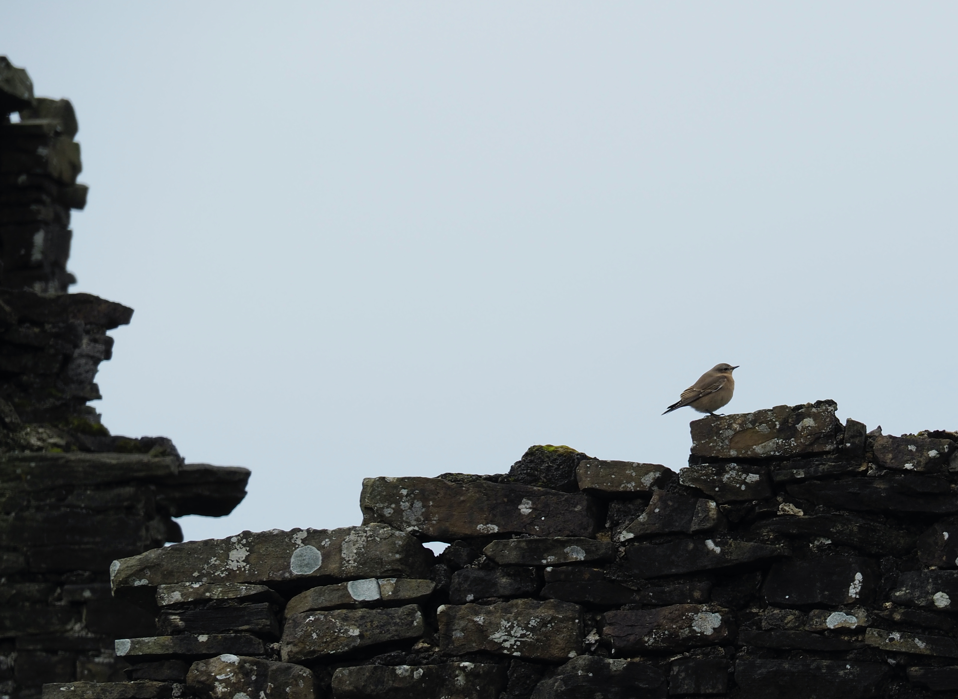
The building is in a wonderful location with views you would pay a fortune for today. We were glad to sit down and lunch was accompanied by a friendly Robin and Wheatear. It was here I spotted a couple of marked bricks, one from Heys Brickworks and the other more well known from Huncoat Accrington Stock brick.
Sheila heading up to Causeway End. Looking a bit forlorn.
Causeway End Farm.
Heys, pre dates Henry Heys and Co Ltd which was a company owned by the founders son also called Henry. Heys was a quarry owner. The brickworks closed around 1915 and was demolished in 1917.
Huncoat Accrington bricks are well known for being long lasting and extremely hard. Huncoat was superseded by the word "Nori" on bricks. It was iron spelt backwards.
From our lunch spot at the ruin we crossed the wall above and followed it west to a gate. At the wall end the path is a wet one going west to a fenced off area with more warnings about shooting. I'm not sure why this warning is here as there is nothing on the OS maps to show any firing range. We were not that far away from Hog Lowe Pike with its trig point but decided to leave it for another day. Anyway we crossed the wooden stile and gradually descended to another stile. Here we stopped and I checked the route map. The route doesn't cross this second stile but handrails a good fence heading south.
Home with a roof.
Whowells Farm.
This "path" is torturous and care has to be taken with every step to avoid a broken ankle. The "path" is more a sheep trod with numerous hidden hollows full of water and tussocks that give way. This has to be negotiated for quite a distance until we came to a gate just before Whowells Farm. The path doesn't go through the obvious gate but a style 10 metres further on is the way. The path heads diagonally south west towards the left hand side of the farm and the field is no better than the previous treacherous path. Here I went down a hollow covered by high grass and was so lucky to stay on my feet. Today, a day later, I can still feel a bit of a sprain to my ankle.
Whowells farm doesn't seem to be a working farm any more and looks to have been split into a number of nice properties. A new build is also going up and will probably be finished in about 6 months or so. It looks very expensive, but what views it will have.
Here, the planned route goes between the out buildings of the farm and heads south towards the Toby Inn pub. However having got to the end of the farm buildings the fields were high in nettles and building rubble so we gave this a miss and headed for the road.
The walk along the road is fine and a quiet one. We had no problems with traffic, who gave us plenty of space when passing. There is no footpath.
Sheila offered to buy the beers in the Toby Inn but when we got there it was closed. I think she knew this......
It wasn't long before we were back at the car after what had been a delightful walk.
Tired feet.
It was 16km all together and it took us 4hrs including stops for photographs and lunch.
Start and finish was at the two blue circles. Bottom Left. We walked in an anti clockwise direction.