Wednesday June 23rd.
The weather in June has been surprisingly good, except today when it's been a bit grey and not very sunny at all. Not great for photographs.
It took us about 40 minutes from home on a busy motorway to reach our parking spot on Stones Bank Rd at SD699166. A little further up this road is the site of a Victorian Turton Sanitary pipe manufacturers. The old tramway still visible on the ground leading up to Turton Moor. It closed in 1911 and was liquidated as Darwin Sanitary Pipe Co.
Our route today though headed south to Blackburn Rd (A666) A devil of a road. Crossing it with care and taking the footpath upwards towards Turton Heights and our highest point of the day, Cheetham Close Hill.
At a crossing of a multitude of paths, The Witton Weavers Way, The Rotary Way and others, used to stand the farm called Parrs, I *think* the last farmer was James Marsh. Unless you look hard it's difficult to envisage just where it was.
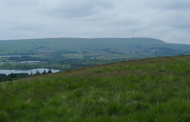
We continued up hill with good views across Delph reservoir to Winter Hill, following the Witton Weavers path until we crested the hill and took the boundary path through deep grass towards a dry stone wall where we had to descend eastward to find a gate through the wall. I don't recommend taking this path as I imagine it would be awful in wet weather. We should have taken the earlier path at SD709165. But this route was new to me and you never stop learning.
A bit of sun at last but will it rain.
We eventually reached the OS trig point on Cheetham Close hill. SD716157, a height of 329 Metres. It's a tall trig point but the OS bracket looks like it has been removed by force. We felt cheated as we couldn't record the number. Maybe that's why its called Cheetham Close.
It's a great 360 view from the top and also there are close to the trig point a couple of stone circles shown on the OS map. We hunted them out and found some broken stones and undulating ground but not what anyone would call stone circles from the Bronze Age. Then we read that the standing stones had been smashed by a farmer from Turton in 1870. The original circle was 61ft diameter. Also a Roman Road ran approximately 200yds away from the circles.
Cheetham Close Trig Point with the bracket missing from the lower front face. ***
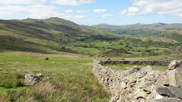
The view North West towards Turton Heights.
We returned from the summit back to the wall in the above image. From there we followed the wall left (SW) and picked up the track leading to Horridge's Farm and then down to the Old Dimple Hall which was built in 1688.
Dimple Hall with it's spinning gallery on the left.
Dimple Hall with it's Carolean Style Architecture, or the restoration style. It is now 2 separate houses as opposed to one hall. Built during the reign of King Charles II.
Just beyond the hall a footpath leads through a field and exits on a minor road. Across the road the path leads into a tree covered dell, down some steep wet steps. This short stream path was a delight and very cool considering the high humidity today.
After a couple of hundred yards the path reaches the A666 Blackburn Rd. Across the road a path leads through a car park, across a stile and a field to a gate bringing us out onto a lane. If we had crossed the road and walked right for a few yards we would have come to the lane anyway and kept dry feet. One for the memory bank.
The lane passes a couple of nice York stone houses and a field path leads to Walmsley Unitarian Chapel and Sunday school. The chapel is a lovely building but was locked up. The Sunday school looked as if it was now a house but I could be wrong about that.
The chapel has a good history, built in 1733 but had a congregation gathering pre 1672. In those days the Church of England was the giver of all books and services so Presbyterians had to worship in the dead of night, not in the chapel or their homes. They used a place called Yearnsdale Holmes, a lonely wild spot. A watchman had to be posted to warn them of any potential hostilities. This carried on until the Tolerance act came in 1689, allowing them to worship in the chapel. Those were tough days and it didn't end in 1689 as they still had fights with other clergy.
A well built path goes past the side of the Sunday school. It has all the hallmarks of being built by the waterworks. Then the dam wall looms high above you on the right.
Waterworks path and bridge.
The reservoir was completed in 1924 and is 78 acres. It was built to supply domestic and industrial water for locals and to supply clean water to feed the River Irwell via Delph Brook.
The reservoir is home to Delph Sailing Club.
You cannot walk the circumference of the reservoir so we opted to go via the lovely Longworth Clough. Much history can be found in this area. Drop down from the road past Critchley Fold onto a track which used to be the entrance to Longworth Mill.
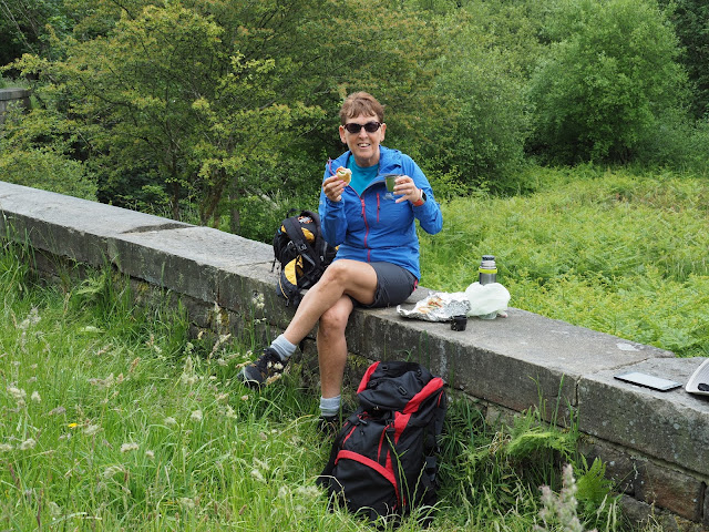
At a footbridge over Eagley Brook we stopped for lunch. A passer-by asked us if we were lost. It was kind of him to ask but we weren't lost. That was the first person we had seen.
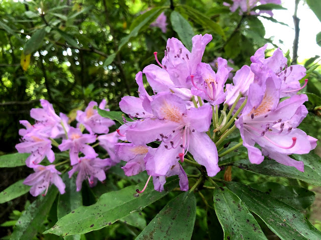
The Clough is a lovely walk today but in years past the brook was contaminated with industrial waste from numerous enterprises along it's course. Today there are fish in the brook, lots of wild flowers, trees and many birds.
The now derelict Spring Side paper works is still to be seen. Covering a huge area. I have read that planning permission has been granted to demolish it and build houses. It will be a lovely place to live.
A small part of the huge complex of buildings that was Spring Side Paper Works.
Paper has been made here since 1834 with water fed via a goit from the ornamental reservoir at Belmont. The mill used a colossal amount of water. 1.5 million gallons per day.
Past the paper mill the path splits into two. The left branch leads eventually to Belmont. We took the right branch, over a footbridge and up a steep incline out of the Clough to the Longworth Road. Across the road to the right was the site of the now demolished Longworth Hall.
Last views of the Clough.
Winter Hill with rain clouds approaching.
The road walk back to the car was uneventful. We couldn't see the reservoir at all. But a sting in the tail was a steep hill which had our legs complaining.
All in all this is a superb walk. 12km.
***. Information from the OS benchmark listing shows that a brass id bracket was never fitted.
