Wednesday, 26th February 2025.
We had tried a couple of times to have a free day for one of Phreerunners day walks but for one reason or another it wasn't to be. So it was fortunate that we had a clear diary day for todays walk.
Overnight the rain had poured but the morning showed some promise. The forecast was for showers spreading from the west. We set off to the start point which was 19 miles from home. It took us 1hr 20 mins. The motorway was a parking lot. Thankfully I no longer have to endure this torture everyday.
Sue, Martin and Andy were already there so after a brief chat we set off. There was a bit of a delay as after 6 or 7 minutes I realised I had left my camera on the back seat of the car. I had to go back for it.
A brief section of road walking brought us to a footpath leading up to where Parrs farm used to be. James Marsh was the last farmer but today you will have to look especially hard to find any signs of a property. Jeremiah Marsh occupied the property in the census for 1770.
Route to Parrs location.
Looking back towards Parr's farm location today.
A short steep section gave us our first glimpse of Delph reservoir. As the track levelled out to cross Turton Heights the views opened up. When a kind of dyke appeared, which I presume was an original drainage ditch spoil heap we followed this to a stile on the horizon. The "dyke", is now part of the Witton Weavers path but looking at the old maps this was never a footpath at all.
Path up onto Turton Heights.
First glimpse of Delph reservoir.
Walking along the "dyke" on todays Witton Weavers track.
Looking back towards Rivington Pike.
A quagmire of a stile. Cheetham Close top in the background.
Between the stile and Cheetham trig point there are stone circles marked on both the 19th century map and the latest OS map. Last time we were up here the grass was quite high and even though we searched the area we didn't find them. This time it was different and we quite quickly found the stone circles. Only one Druidical circle is marked on the old map but more are shown on the new map. We found two circles. We also found a flat stone with markings which I think points the way over Cheetham Close. Just a guess of course. We also passed a Bolton Corporation Boundary post.
An unusually marked stone.
Cheetham Close Trig Point without it's brass plate. It was never fitted according to OS Data.
Which way from here?
A wonderful viewpoint for Delph Reservoir and Rivington Masts.
From here we should have retraced our route back to the stile, crossed over and followed the wall west. However, I had it in my head that on our last visit in 2021 we went diagonally left to a gate in the wall. I was wrong, there was no gate but there was some through stones in the wall which were good enough to clamber over. Myself, Sue and Sheila did the wall climbing but Martin who has a sore knee, along with Andy retreated to the stile. Sorry guys, my fault.
We dropped down to a good path that eventually passed Horridges Farm, a survivor from before the 1746 map of Turton. John Warburton was the tenant in the 1770 census. A JCB 3CX with a 4 in 1 bucket with forks attachment was parked up and it looked like it doesn't get used much. I hope he oils those loader cylinders.
View across to Horridges farm which is in the trees upper right of centre.
After a brief stop for a brew we headed down the lane passing Dimple Hall where the path leaves the lane on the left crosses a field to a side road then follows a small stream down a pleasant wooded glade to the A666. It's a devil of a road.
Dimple Hall. (May have been called Tomasons previously.)
Crossing the road the right of way goes across a field to lane which passes by a very nice house that was originally Howarth's farm. The farm was occupied in 1770 by John Hamer.
We decided that as the field was very boggy we would use the track which goes to Howarth's.
Unfortunately for us or fortunately depending on your viewpoint we were told that the entrance gate and first 30yds of the track is private property. I think we all thought he meant the whole track rather than the first 30yds because looking at the OS map below the PRW does actually use the farm track past the front of the house. So although the guy was correct to point out our minor trespass I think it was a little pedantic. But he was in his rights to point it out. We apologised as we should have and there was no shotgun exit.
The PRW in question was from the red letter
A to the red letter
B. The private bit was where the black arrow points which is the way we went instead of starting at
A.
Back on track we crossed a field to a lane by Walmsley Chapel and old Sunday school. Turned left and followed a good track made by the Water Corporation which crosses a well made bridge and exits onto Longworth Road. Although a minor road it can be quite busy and there is no footpath.
The reservoir overflow. I think the tower is a pumping station.
The reservoir was intended to be the first of five new reservoirs, but this one was the only one ever built. In 1908 it was intended to take 5 yrs and cost £250,000. However difficulties arose and then so did the 1st World War. This pushed costs up to £400,000 but Delph Reservoir was ready to use in 1921.
Reaching the modernised and much extended Critchley Fold a new footpath sign points the way down to Longworth Clough. A Takeuchi mini excavator was hiding behind the horse stables.
Once down by the stream we took advantage of a low bridge wall to have lunch. There used to be a mill here with a long water leat or goyt feeding the power source. All now long gone.
The mill was called Longworth Mill. It was a cotton mill and demolished in 1912.
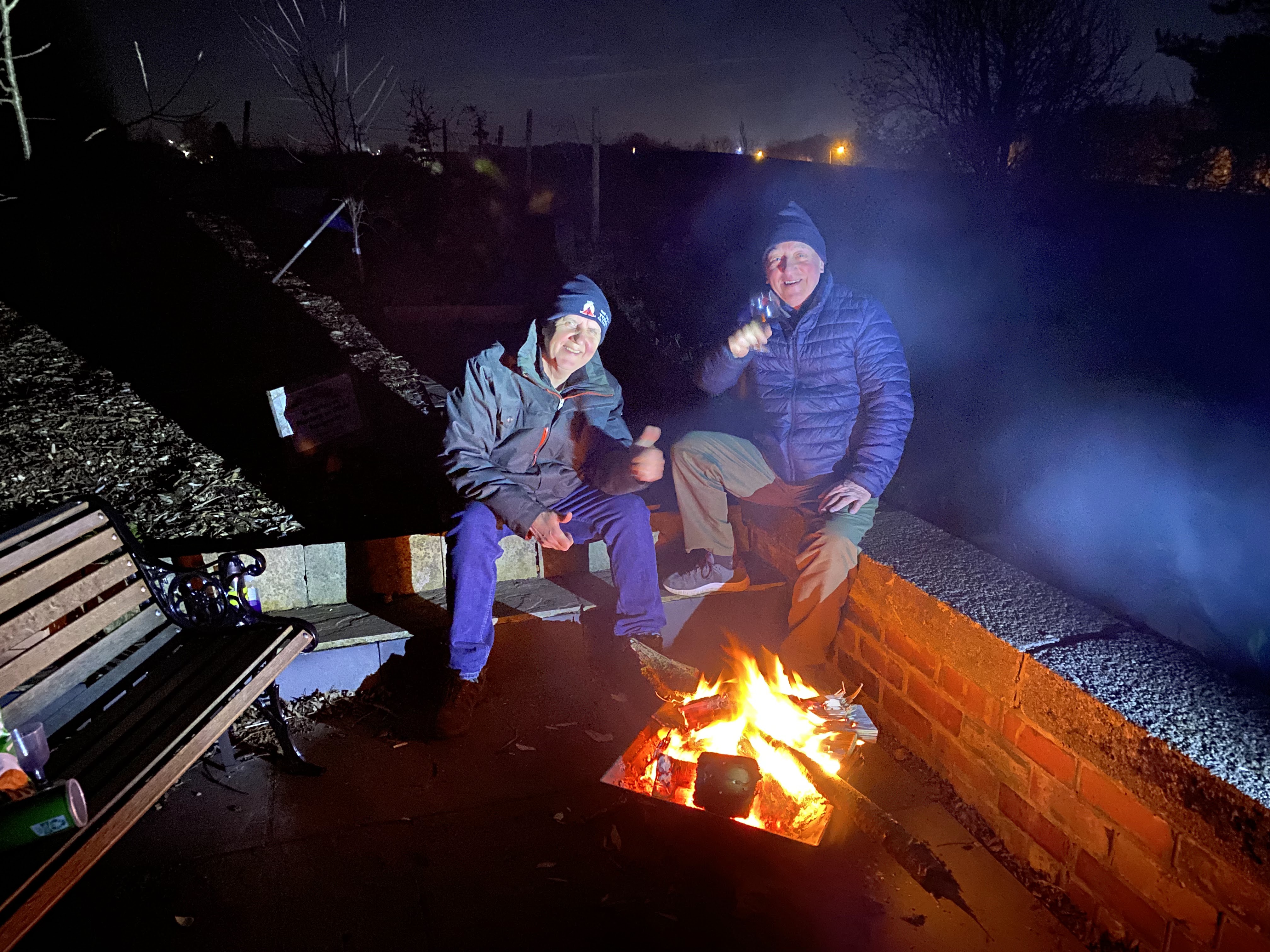
A welcome lunch break taken in the location of Longworth Mill. (Thanks to Martin for the image).
Belmont or Eagley Brook. Different names for the same brook.
A pleasant walk was had alongside the brook which showed many signs of the recent storms and much flooding was obvious. Sue took advantage of a well built weir which provided the water for the goyt which went to the mill. We passed the now derelict old paper mill which must have been a huge place in its day. Then across the bridge and up to Longworth Road for a second time.
At the top of the hill the view into Manchester City centre could clearly be seen as was Rivington masts.
We had a brief shower, nothing to write home about but the sky went very black for a short period of time. There's nothing left to see of Longworth Hall which stood a few feet away from the crossroads we were at.
A relatively new quarry got our attention as it isn't shown on the maps of 1830-1880 and it only appears on the 1940 map. The quarry is now completely full of water with many signs warning of the dangers involved in swimming there. It does seem tempting though.
Disused and flooded quarry at Valentines crossroads.
Manchester City centre.
Rivington Masts from Longworth Road.
The next section of the walk was new to me and planned by Martin to extend the day to around 12km.
Back up onto Turton Moor on a good track for a little while. The sky turned dark again and we had another short shower. A rainbow appeared and luckily I managed a photo before it disappeared.
Sue and Sheila in chatting mode.
Today these moorlands are empty but in the 18th and 19th century they would have been busy. Its hard to imagine as we walk round. Most of the industry and farms need to be searched out as very little remains. Old coal mines and iron workings too are hard to find. There was accommodation here and I think Coopers tenements may have been just that for all the quarries that once worked here.
Coopers can still be seen in the distance as it's wall and window openings stand aloof.
Coopers tenements in a landscape which reminds me of Bronte Country.
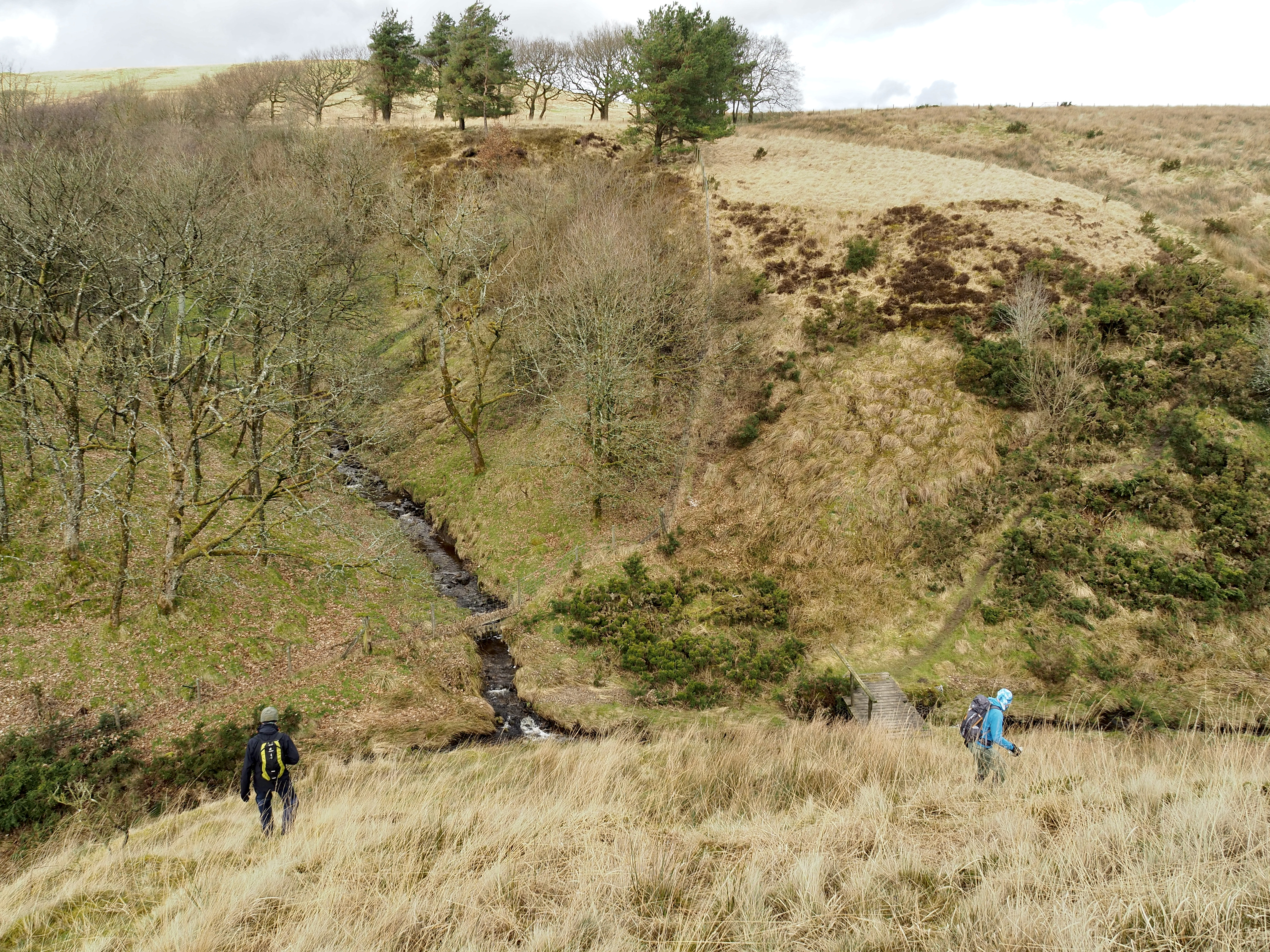
A steep drop led us down to Owshaw Clough were mining workings can be found. Across the bridge and and a steep up.
Two shots of the crossing of Owshaw Clough.
A bit more boggy moorland was crossed before we handrailed Moss Side Plantation. Again it showed the devastation of storm damage with so many uprooted trees. The "Path" was crossed by numerous trees which had us finding diversions and many quagmires until eventually we came to the minor road which got us back to the car.
We managed to do the whole walk without waterproofs so that was a bonus. I didn't wear gaiters which was a mistake due to the numerous water courses and bogs we crossed. All in all it was a grand day out. It was good to be back out with Martin and Sue and good to meet Andy for the first time.
Thanks Martin for putting the walk on your agenda.
Here is the route map. Just a little under 12km.